
See our routes broken down for novice riders and by distance; short, intermediate & long. The routes are available in Chinese and English versions of Strava which you use as a mapping / gps device on your phone. We also offer GPX route files which can be downloaded to your device or other phone apps.
Route Warnings
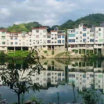
Going west out of Sanyang on a road bike???
If you are on skinny tires, please be warned the south flat road via Gaofeng is not advised due to some rough sections. Take the north, more hilly but smooth tarmac route, via Zhongling. The south road is doable on 32+ tires. Careful in the wet.
如果您使用的是窄胎,请注意:由于部分路段较为崎岖,不建议走经高峰的南线。请选择经中岭的北线,虽然坡度较大,但路面平 整。
南线对于32毫米及以上宽度的轮胎来说是可以通行的。雨天请务必 小心。

Novice Road Routes
Shorter rides on flatter surfaces. Check out our collection of rides for novice riders, also on Komoot or RideWithGPS.

Good for starting out on longer rides. Drop by Shuizhuken just before the start of the…

47km 550m. Novice with a slight climb. Yingkeng is worth wandering around….

Novice with one climb / decent…

A ride through the old town of Sanyang and then along the river and back.

A ride to the border of Zhejiang with one slight climb.

Ride to Sanyang and through the old streets.
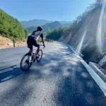
Short Road Routes
Shorter routes near the homestay. Not necessarily easy due to surface or gradient.
Yingkeng & Back
47km 550m. Novice with a slight climb. Yingkeng is worth wandering around….
Sky Climb
38km 800m, 1 Main Climb. Our local climb up to Yenke village. Cycle down from the…

Sanyang Loops
23km 400m. Outside the homestay, a short, steep ride up to Santang Village. Get a rest…

Gaoshan Road Return
32km, 480m. A short, steep climb to the old hill village of Gaoshan. Very nice, not…

Easy XiaoXu Village
30km 400m. Grab a gravel or mountain bike and cycle up to around Xiaoxu village. A…
Medium Road Routes
Medium distance routes, generally less than 100km.
Featured Ride:
Slate 8 Perfect!
A ride that sums up cycling around #wildhomestay

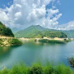
The Lake 湖景线
58km 1080m hill climb. A nice ride to add on way to / way back towards…

The Botanicals
102km 1600m. A stunning climb to the mountain botanical garden in Zhejiang and back. Various options,…

Slate 8’s
90-105km 1600m. More an area to explore, south of us, than a single ride. Everything from…

Rubbish Ride
70-90km 800m to 1200m. Our relaxed Sunday ride. Various extensions. Rolling with a short, sharp hill.…

Rubbish Reversed
85km 1000m A great rural river hill ride with some seriously steep 20% sections. This is…

Rubbish Long Flattish
90km 800m. Nice easy ride along south and north rubbish with the sharp sections taken out.…
Rainbow Gorge Sky
75km-120km, 1000-1600m. A very nice loop with a climb at the end! 98% good tarmac with…

QianNiuGang Daming Classic
100km 1800m. A classic hill climb in East China! 25km from Wildhomestay to the bottom of…

3 Peaks & A Bit
125km 1900m. The new standard south route. Very nice. 3 main mid climbs and a few…

1 Peak & A Bit
70km 1200m. Good Road – Shorter South Climb Easy up and down and return on the…
Featured Ride:
Rainbow Sky 100
A good ride for any weather! 99% nice roads. Best done in the afternoon to catch sunset rays!
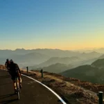
Long Road Routes
Long routes heading in all directions.

The Beasts Of The East
288km 5500m. To Qiandao Hu & Back. Still a work in progress. Need to think about…

Slate 8 Long
165km 2000m A very nice route. One of the best in the area. 3 medium hills…

QianNiuGang (Daming) Epic
160km 2000m Daming Epic (from south). All the way from Wildhomestay, 25km to Daming and then…

Northern Delights Little North
165km 2000m Below Komoot for option 2. Route from Jixi – Or get car to pick…

Long QianDaoHu
170km 2000m Weiping Waits 2 to 3 Climbs with optional steep | Good Road with a…

Double Rocks
140km 2000m. A drive from the homestay to Qingliangfeng Zhen. Park and cycle from there. A…

Big North – Sunset Peaks
200km 3000m. The Double. Not to be underestimated. Leave early, and it’s best to bring a…

A Stupidly Long Day – The Quadruple
300km 6000m. 4 Hills on one of our big days. Lights are required and don’t do…
Adventure Road
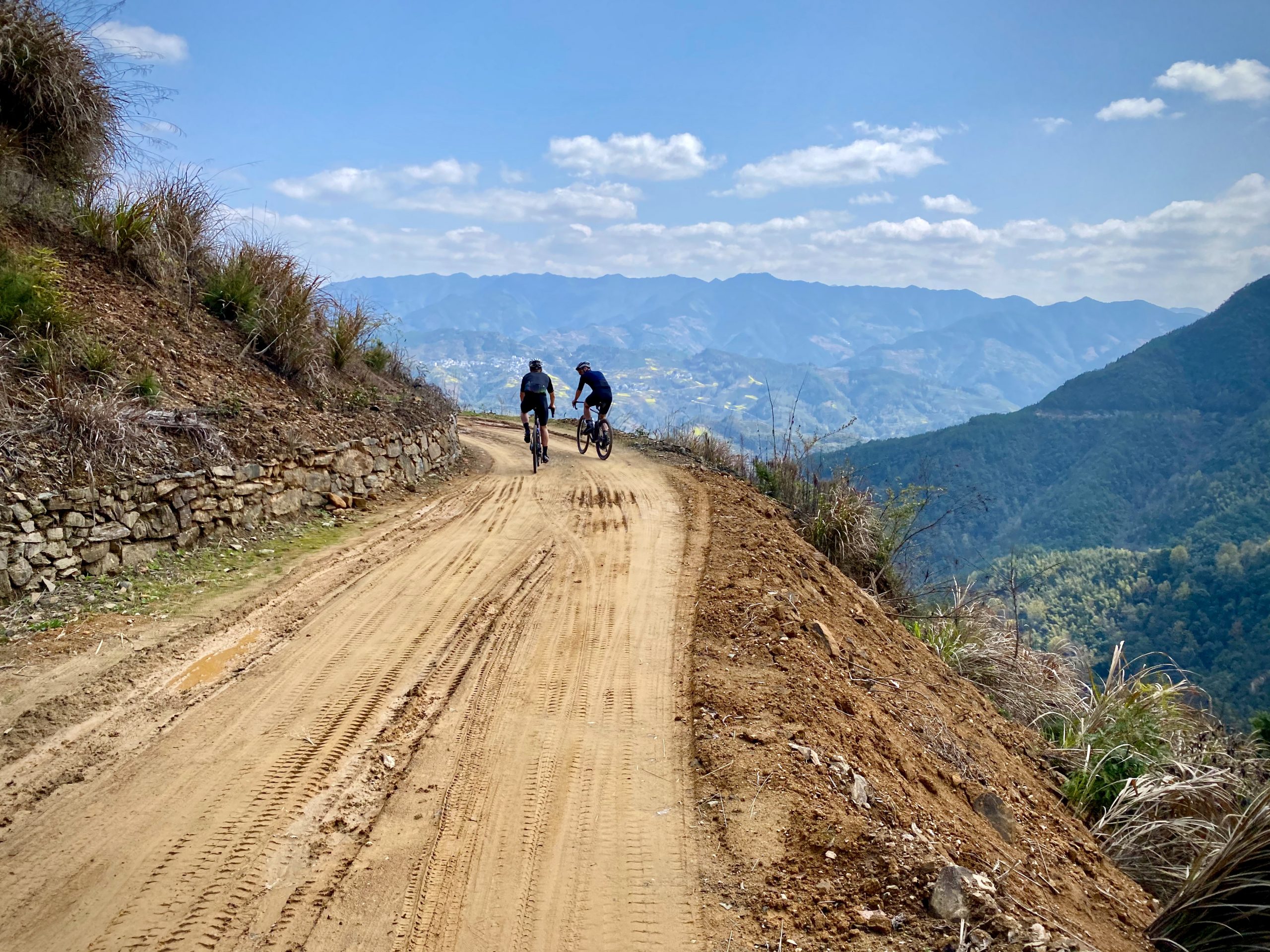
Stunning road rides may be with very short gravel sections or off road. Best done with MTB shoes and 32 wide tires preferably on a dry day.

XiTan Climb
21km 400m

Slate Extended
145km 2800m. A long day with a small section of gravel. Very quiet roads. Best done…

Horse Shoe
80km 1400m A nice ride to the Yingkeng village and then climb up to the top…

Corks Highway
76km 1500m. A remote, stunning main climb with some smaller, shorter climbs. Best done counter-clockwise on…
“Gravel” Rides
Other offroad stuff doable on gravel bike, MTB, eMTB etc.
Gravel Reservoir + Botanicals
40km 400m, 85km 1200m Two Options: 1. An easy road climb to a reservoir with a…
GGB Gao’s
40 to 50km. Gaofeng & GaoShan & The Black Hills Probably best done on an e-MTB.…
Daming Dirty’s
80km to 140km. There is still some fun gravel / offroad around Daming. I guess it…

Black Hills BikeHike
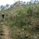
30km 1000m. Warning: Dangerous. Trails might need cutting, and can only be done on a mountain…
BikeHike
Our unique flavour of riding! Gravel or Mountain bikes suggested. Adventure rides can be ridden 100% of the time (depending on skill) and bikehikes normally always require some hiking. The amount of hiking that is required generally depends on your cycling skill level. These routes normally have dangerous drops, steep slopes and can take all day.

To the Fire Lane 57km 1200
60km 1200m. A big bike hike. Kind of crazy. Only for the serious adventurous!!!! Done in…

Huihang Trails BnH
50km to 100km. 1000m+. Nice cycle & then 30 minute hike up to the ancient Huihang…

Gaoshan Trails
30km 500m. Careful on the off road bends. Easy road up to Gaoshan and then challenge…

Confused but good
95km 2200m. BHBHBHBHBHBHBHB – a crazy day. hats off to anyone who is able to do…

Cables
101.1km 1900m. BHB, road, off road, walk, road. Add gaoshan gravel for a bit more.
Black Hills BikeHike
30km 1000m. Warning: Dangerous. Trails might need cutting, and can only be done on a mountain…

3 Little Hikes
117km 2000m BHBHBHB A very big day out. Some of the hike might be off trail…
Water Pigs Dirt Ride (WPD)
80km mostly road but a bit of everything!
Best done on a dry day in spring 🙂
Inter City
Inter City & Train Routes: coming in from Qiandao Lake, Tunxi or She County. Check out these Hangzhou routes to the homestay.

Tunxi to WHS
90km 1000m, Very nice small road ride!
To HeQiao Tianmu Morganshan Long
210km 2000m. Some good views.
Shexian Indirect
130km 1600m. Lovely little roads and a ferry.

Qiandao Hu to WHS
100km 1600m this one is good as well. dont need to do the last climb out…

Jixi North to WHS
53km 800m. Very nice ride on small roads and a few hills.
Check out the Huizhou Merchant Trail which links Wuyuan and some other great places in the area.
Need more info on how to use Komoot / strava or download routes or use GPS?

Bucket List
Too many routes to select from. Make sure you do these rides 🙂